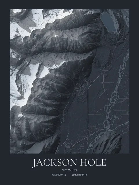
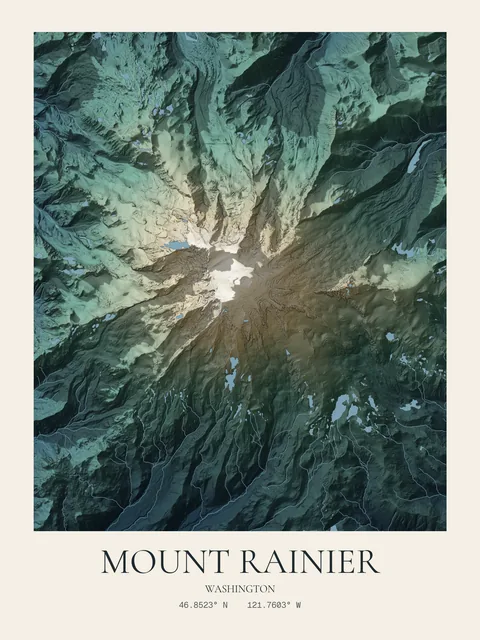
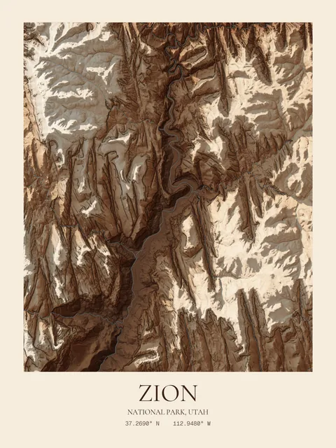
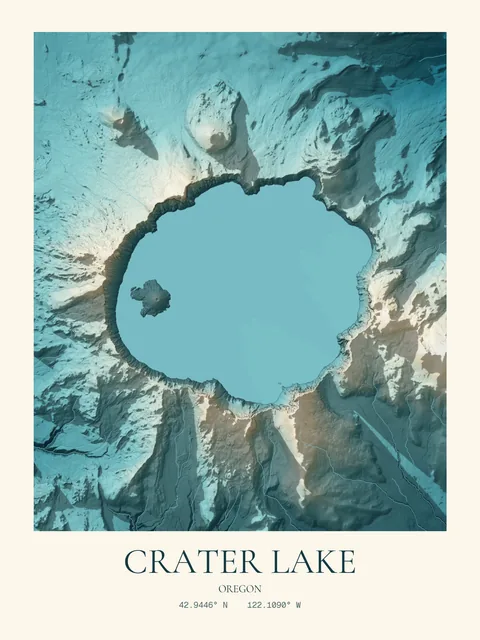
Any place.
A custom topographic map of the ground beneath a home, a home mountain, a lake, a first apartment. Rendered from one meter lidar, with every hill and hollow cast in light and shadow.
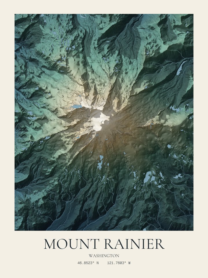
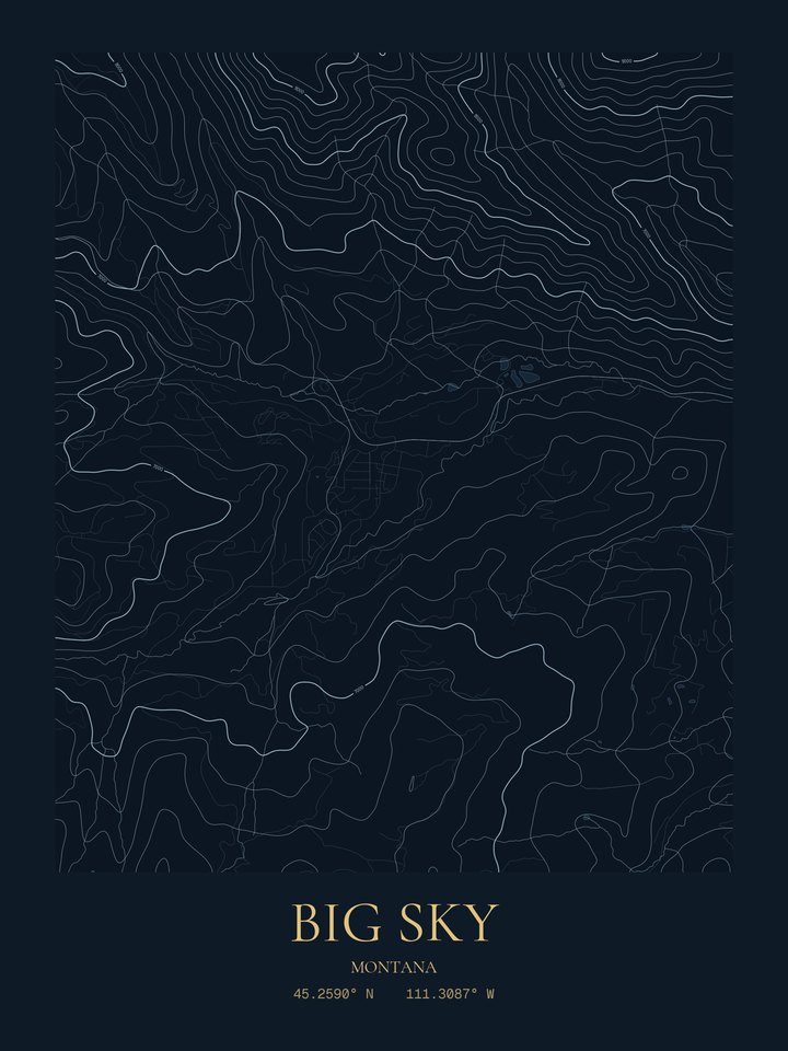
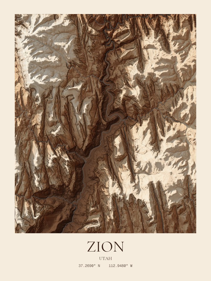
Land you can almost touch.
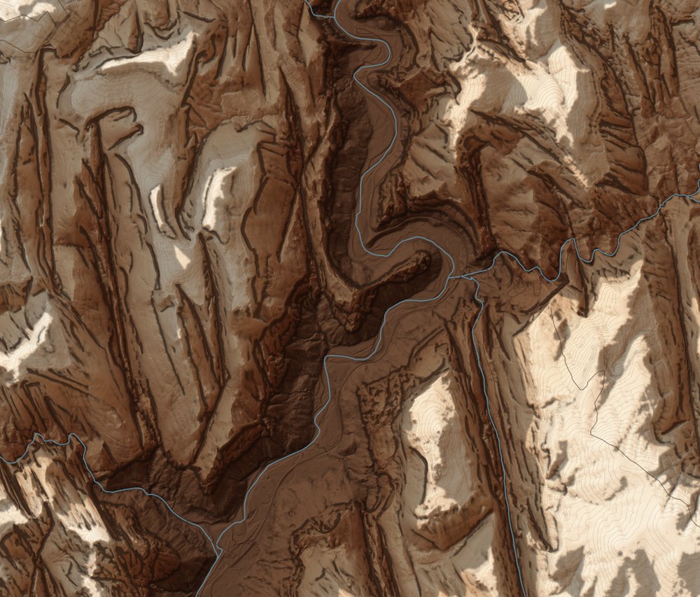
Every hill and hollow traced from the USGS lidar survey, one meter at a time, then lit from the northwest so the land reads like sculpture.
Made to last.
Premium heavyweight matte paper, unframed or in a durable black pine wood frame behind shatterproof plexiglass. You get a watermarked preview first, with 24 hours to deny it before it heads to printing.
Or keep the file.
A 7200 by 9600 pixel file, emailed to you. Sharp enough to print up to 24 by 32 inches, anywhere you like.
A map of the places that matter.
A hometown, a ski town, a cabin on a lake, the trail where you said yes. Each custom topographic map is made to order from the USGS lidar survey and printed on heavyweight matte paper, unframed or framed.
What is a custom topographic map print?
A map of a place you choose, drawn from its real elevation. Ciel prints it as shaded relief, where slopes catch light and cast shadow, or as fine contour lines. You pick the area, the colors and the title.
Can I make a map of my ski town or home mountain?
Yes. Search any US town, ski area, peak or national park and the studio frames it for you. The map shows the shape of the mountain, its ridges and bowls, rather than ski runs or lifts.
Does it make a good gift?
It is one of the most personal gifts you can give: the lake where they grew up, the trail where you got engaged, the mountain they ski every winter. You see a watermarked preview before it prints, or choose the digital file and print it yourself.
What sizes and prices are there?
Prints are 12 x 16, 18 x 24 or 24 x 32 inches, from $49 unframed or $135 framed in black wood. The digital file is $15. A second map in the same order is 25% off.